India’s roads began as brick-paved streets in Harappan cities and royal highways lined with trees and rest houses. Today India has one of the largest road networks
in the world — more than 60 lakh km of roads, from village lanes and Himalayan passes to six-lane expressways and record-breaking sea bridges.
This timeline covers ancient trade routes, the Grand Trunk Road, colonial road building, the Nagpur, Bombay, and Lucknow road plans, national highways,
the Border Roads Organisation, NHAI, the Golden Quadrilateral, PMGSY village roads, expressways, Bharatmala, tunnels and bridges, and FASTag tolling.
2500 BCE → PresentBrick Street → GT Road → ExpresswayHighways · Village Roads · Tunnels
Why Roads Matter
Roads carry most of India’s passengers and goods. They connect farms to markets, villages to schools and hospitals, factories to ports, and soldiers to the borders.
Building roads has always been a government task — from kings who planted shade trees along highways, to the colonial Public Works Department, to today’s Ministry of
Road Transport and Highways, NHAI, state public works departments, and the Border Roads Organisation.
Big picture
India’s road journey in one view
Roads moved from planned city streets and royal trade routes, to a single great highway across north India, to colonial metalled roads for carts and cars, to
national road plans after independence, and finally to high-speed expressways, village roads, and mountain tunnels built at record pace. Related timelines:
cars,
buses,
two-wheelers.
60 lakh km+
Total road network
1.4 lakh km+
National highways
5,846 km
Golden Quadrilateral
5,798 m
Umling La — among the highest roads
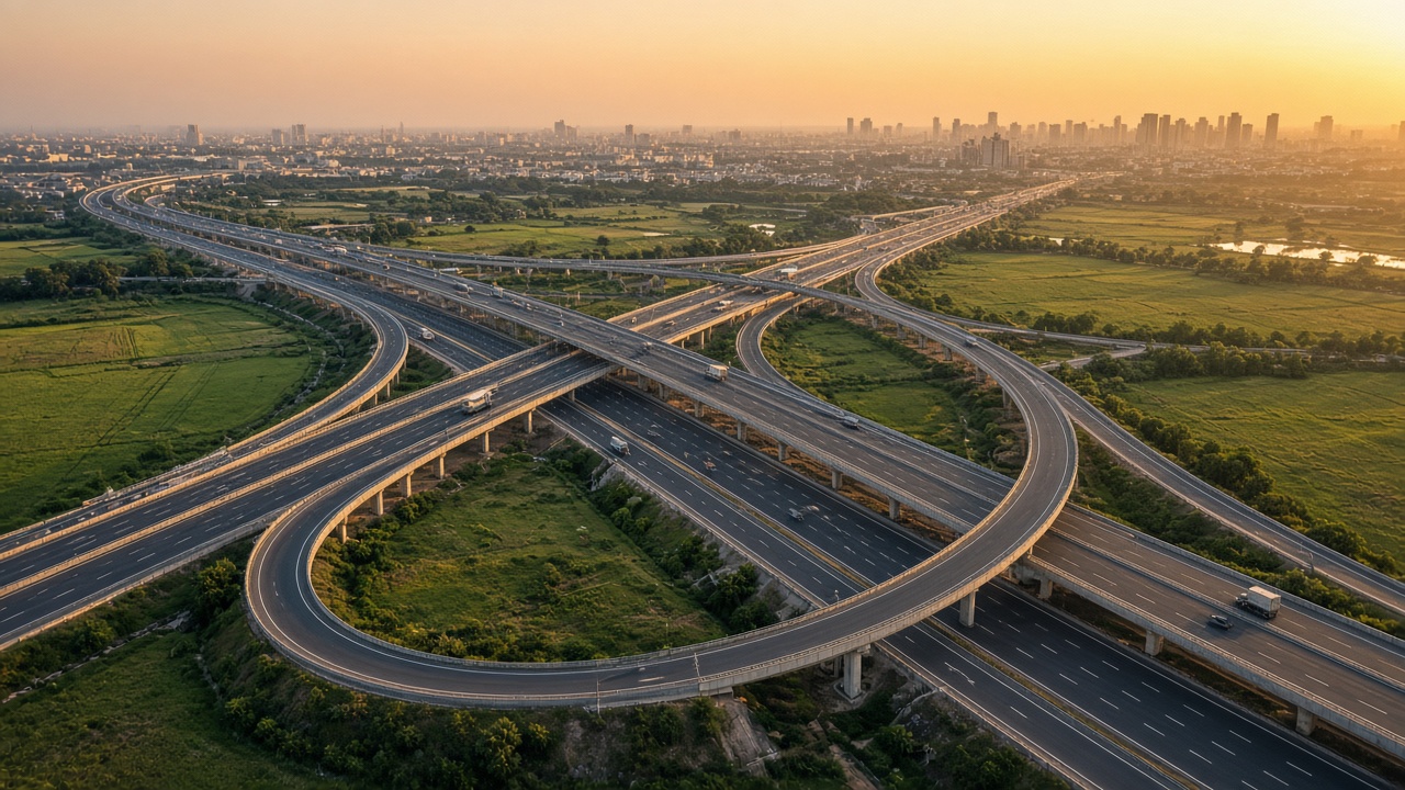
Multi-level interchanges link India’s new expressways and highways (artistic illustration).
🧱 Ancient Roadsc. 2500 BCE – 1200
Ancient Streets & Royal Highways
The Harappan cities had some of the world’s earliest planned streets. Later empires built long trade routes across the subcontinent, and kings such as Ashoka made roads safer and more comfortable with trees, wells, and rest houses.
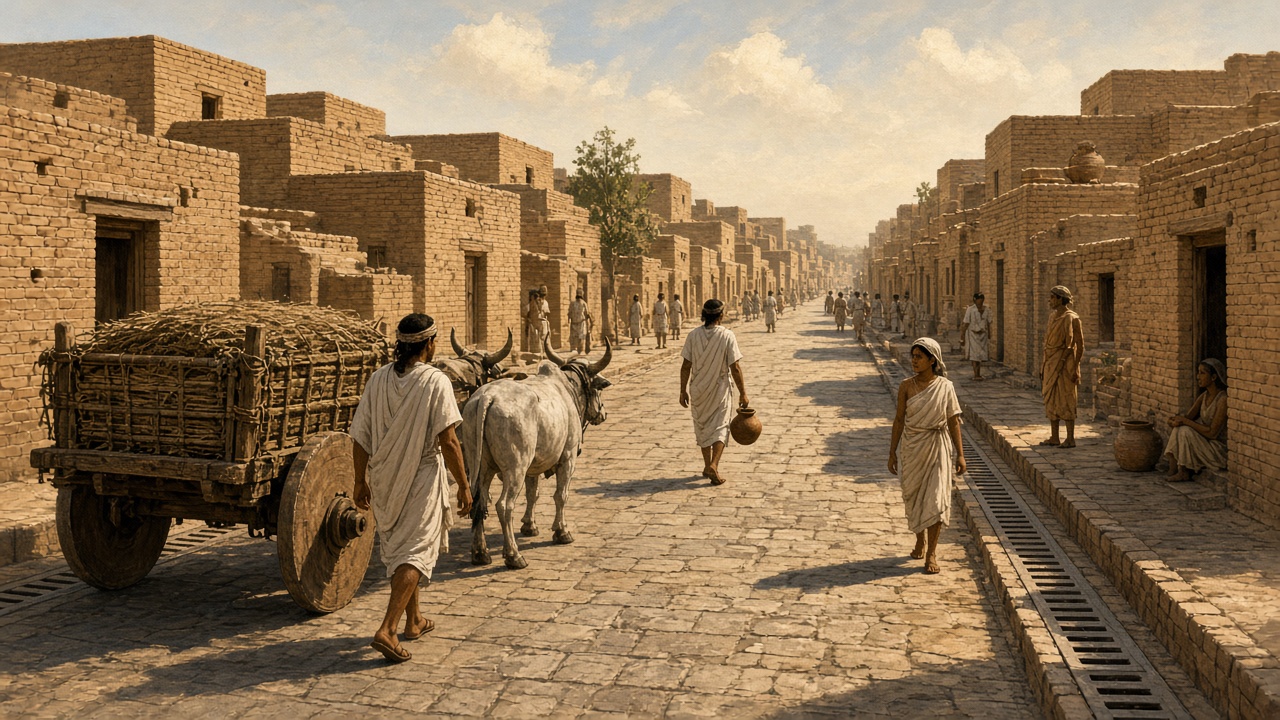
Harappan cities had straight streets in a grid with covered drains along the sides (artistic illustration).
c. 2500 BCE: Mohenjo-daro and Harappa have wide main streets laid out in a grid, with brick drains and bullock carts on solid wheels.
c. 600 BCE onward: The Uttarapatha (northern route) and Dakshinapatha (southern route) link cities, markets, and ports.
Mauryan period: A royal road links Pataliputra with the north-west; Megasthenes records officers who set up milestones along roads.
3rd century BCE: Ashoka’s edicts describe banyan trees, mango groves, wells, and rest houses built along roads for travellers and animals.
Road engineering
Grid layout: Planned streets meeting at right angles.
Drainage: Covered brick drains beside streets.
Milestones: Markers showing distance on royal roads.
Features
Trade routes: Carried salt, textiles, spices, and ideas.
Traveller care: Wells, shade, and rest houses.
Mostly earth roads: Paving mainly inside cities.
🛤️ Grand Trunk Road1200 – 1757
Grand Trunk Road & Mughal Highways
Sultans and emperors improved the great highway across north India. Sher Shah Suri rebuilt it with sarais, wells, and shade trees, and the Mughals marked it with kos minars — turning it into one of Asia’s most famous roads.
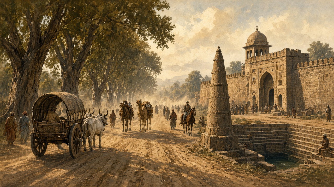
Sarais, stepwells, and kos minars served travellers along the Grand Trunk Road (artistic illustration).
13th–14th centuries: The Delhi Sultanate maintains roads with rest houses and relay posts for armies, traders, and messengers.
1540–1545: Sher Shah Suri rebuilds the great road from Sonargaon in Bengal to the north-west, with sarais at regular intervals, wells, and rows of trees.
1556–1707: Mughal emperors extend highways towards Kabul, Lahore, Agra, and the Deccan, and mark distances with kos minars.
18th century: As Mughal power declines, many roads fall into disrepair; travel slows and becomes less safe.
Road engineering
Sarais: Walled inns with water and stables.
Kos minars: Stone towers marking each kos.
Bridges & ferries: Stone bridges and boat crossings.
Features
Empire’s backbone: Moved armies, revenue, and post.
Busy trade: Caravans of carts, camels, and bullocks.
Shade and water: Trees and wells every few miles.
🚜 Metalled Roads1757 – 1946
Colonial Roads, PWD & Motor Cars
The British rebuilt major roads with crushed-stone (macadam) surfaces, cut ghat roads to hill stations, and set up the Public Works Department. Motor cars arrived, and road funds, a road congress, and India’s first road plan followed.
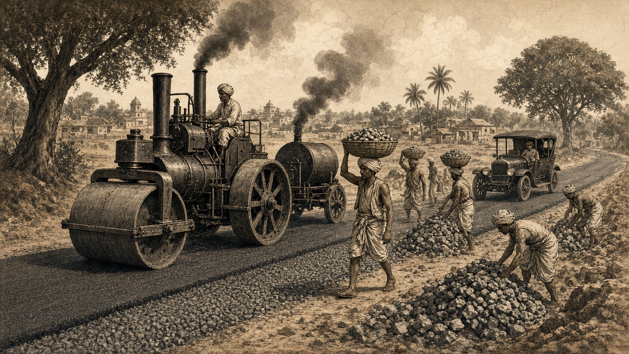
Steam rollers and crushed stone turned dirt tracks into metalled roads (artistic illustration).
1830s–1850s: The Grand Trunk Road is rebuilt and metalled in stages from Calcutta towards Delhi and Punjab; the Public Works Department is formed (1854).
Late 19th century: Ghat roads climb to hill stations such as Shimla, Darjeeling, and Ooty; the first motor car appears on Indian roads (1897).
1927–1934: The Jayakar Committee studies road development (1927); the Central Road Fund starts (1929) with a fuel tax; the Indian Roads Congress is founded (1934).
1939–1943: The Motor Vehicles Act (1939) regulates vehicles; the Nagpur Plan (1943) becomes India’s first 20-year road plan.
Road engineering
Macadam: Layers of compacted crushed stone.
Steam rollers: Machines to compact road surfaces.
Tar surfacing: Bitumen for dust-free roads.
Features
Military and revenue: Roads served colonial rule.
Rail first: Railways got more investment than roads.
Road classes: The Nagpur Plan grouped roads by importance.
🗺️ Road Plans1947 – 1987
Road Plans, National Highways & BRO
Independent India followed long-term road plans, gave national highways legal status, and set up research and border road agencies. Roads reached mountain frontiers, but most highways stayed narrow two-lane roads.
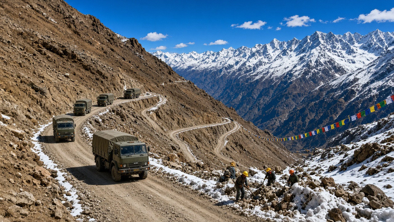
Border road workers keep high mountain passes open for travellers and the army (artistic illustration).
1952–1956: The Central Road Research Institute opens (1952); the National Highways Act (1956) lets the central government declare and develop national highways.
7 May 1960: The Border Roads Organisation is formed to build roads in border and mountain areas.
1961–1981: The Bombay Plan, the second 20-year road plan, aims for 32 km of road per 100 sq km.
1981–1987: The Lucknow Plan (1981–2001) targets 82 km per 100 sq km and aims to connect villages; the Motor Vehicles Act, 1988 is prepared to replace the 1939 law.
Road engineering
IRC codes: National standards for road design.
Mountain roads: Cut into cliffs at high altitude.
Bitumen roads: Black-topped highways spread.
Features
Planned growth: Twenty-year road targets.
Strategic roads: Links to Ladakh and the North-East.
Congestion: Narrow highways with slow trucks.
🛣️ Golden Quadrilateral1988 – 2013
NHAI, Golden Quadrilateral & PMGSY
A new highway authority and the National Highways Development Project widened thousands of kilometres into four- and six-lane highways. At the same time, a national rural roads scheme began connecting villages with all-weather roads.
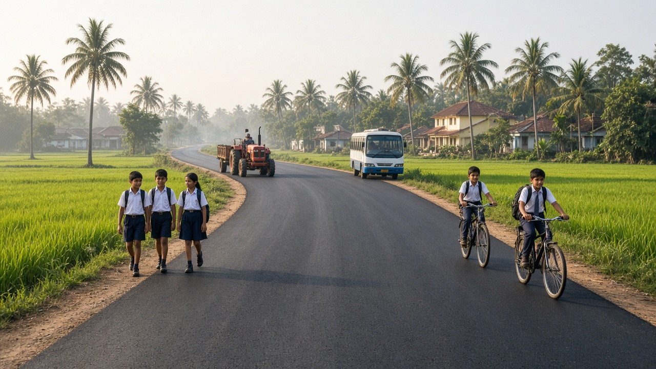
All-weather village roads made it easier for children to reach school and farmers to reach markets (artistic illustration).
1988–1995: The NHAI Act (1988) creates the National Highways Authority of India, which begins working in 1995.
1998–2001: The National Highways Development Project begins; work starts on the Golden Quadrilateral linking Delhi, Mumbai, Chennai, and Kolkata, and on the North–South and East–West corridors.
2000–2002: PM Gram Sadak Yojana launches on 25 December 2000; the Mumbai–Pune Expressway, India’s first access-controlled expressway, fully opens (2002).
2010–2013: National highways are renumbered in a new system (2010); the Golden Quadrilateral is largely completed; the Yamuna Expressway opens (2012).
Road engineering
Four and six lanes: Divided carriageways with medians.
Village access: Schools, clinics, and markets closer.
Toll plazas: Users pay for better highways.
⚡ Expressways2014 – Present
Bharatmala, Expressways & FASTag
India entered its fastest phase of road building. New expressways, economic corridors, long tunnels, and sea bridges opened, electronic tolling replaced cash queues, and digital planning tools linked roads with rail, ports, and airports.
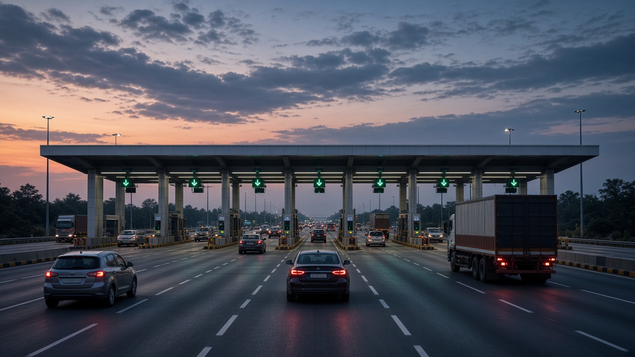
FASTag lanes let vehicles pay tolls electronically without stopping for cash (artistic illustration).
2016–2017: The Agra–Lucknow Expressway opens (2016); the Chenani–Nashri tunnel and the Dhola–Sadiya (Bhupen Hazarika Setu) bridge open (2017); Bharatmala Pariyojana is approved (2017).
2018–2020: The Eastern Peripheral Expressway opens (2018); the Motor Vehicles (Amendment) Act, 2019 strengthens road safety rules; the 9.02 km Atal Tunnel opens under the Rohtang Pass (2020).
2021–2022: FASTag becomes mandatory (15 February 2021); PM Gati Shakti links infrastructure planning (2021); the road over Umling La is recognised as one of the world’s highest motorable roads.
2023–present: Sections of the Delhi–Mumbai Expressway open (2023); Atal Setu, India’s longest sea bridge at about 21.8 km, opens in Mumbai (2024); satellite-based tolling is tested.
Road engineering
Access-controlled expressways: High speed with no crossings.
Long tunnels & sea bridges: All-weather links.
FASTag & GNSS: Electronic and satellite tolling.
Features
Record building pace: Many kilometres of highway added each day.
Economic corridors: Roads linked to ports and industry.
Road safety focus: Stricter rules and safer design.
India’s Road Development Plans
Plan / programme
Period
Main aim
Nagpur Plan
1943–1963
First road plan; 16 km of road per 100 sq km; road classification
Bombay Plan
1961–1981
32 km of road per 100 sq km
Lucknow Plan
1981–2001
82 km of road per 100 sq km; connect villages
National Highways Development Project
From 1998
Golden Quadrilateral and North–South, East–West corridors
PM Gram Sadak Yojana
From 2000
All-weather roads to unconnected villages
Bharatmala Pariyojana
From 2017
Economic corridors, border and coastal roads, expressways
PM Gati Shakti
From 2021
Digital master plan linking roads, rail, ports, and airports
Types of Roads in India
Road type
What it connects
Who looks after it
Expressways
Major cities by high-speed, access-controlled roads
NHAI, state expressway authorities
National highways
State capitals, ports, major cities, and borders
Ministry of Road Transport and Highways, NHAI, NHIDCL
State highways
District headquarters and important towns
State public works departments
Major district roads
Towns and markets within a district
State PWD and district bodies
Other district roads
Rural areas to markets and main roads
District bodies
Village roads
Villages to each other and the nearest road
Panchayats; PMGSY for new links
Border roads
Border and mountain areas
Border Roads Organisation
Landmark Expressways, Tunnels & Bridges
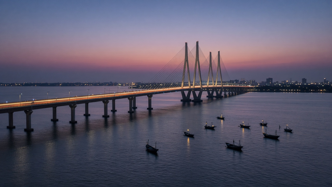
Long sea bridges now connect coastal cities across bays and creeks (artistic illustration).
Year
Landmark
Why it is special
2002
Mumbai–Pune Expressway
India’s first access-controlled six-lane expressway
2012
Yamuna Expressway
High-speed link between Greater Noida and Agra
2016
Agra–Lucknow Expressway
Long greenfield expressway in Uttar Pradesh
2017
Chenani–Nashri tunnel
About 9.3 km road tunnel in Jammu & Kashmir
2017
Dhola–Sadiya bridge (Bhupen Hazarika Setu)
About 9.15 km river bridge in Assam
2020
Atal Tunnel
9.02 km highway tunnel under the Rohtang Pass
2021
Umling La road
One of the world’s highest motorable roads (about 5,798 m)
2023
Delhi–Mumbai Expressway (first sections)
Planned as one of India’s longest expressways
2024
Atal Setu (Mumbai Trans Harbour Link)
India’s longest sea bridge, about 21.8 km
Road Travel: Then and Now
Aspect
Then
Now
Surface
Earth, brick, or crushed stone
Bitumen and concrete highways
Vehicles
Bullock carts, horses, camels, palanquins
Cars, buses, trucks, two-wheelers, electric vehicles
Rest stops
Sarais and stepwells
Highway dhabas, fuel stations, and wayside amenities
Distance markers
Kos minars and milestones
Kilometre stones, signboards, and GPS maps
Toll
Duties at city gates and ferries
FASTag and satellite-based tolling
Building
Manual labour and animals
Pavers, rollers, tunnel boring, and drones for surveys
Roads & Highways Timeline Summary
Year / Era
Milestone
c. 2500 BCE
Planned streets in Harappan cities
3rd century BCE
Ashoka’s roadside trees, wells, and rest houses
1540s
Sher Shah Suri rebuilds the Grand Trunk Road
1854
Public Works Department formed
1897
First motor car on Indian roads
1929
Central Road Fund
1934
Indian Roads Congress
1943
Nagpur Plan
1956
National Highways Act
1960
Border Roads Organisation
1961
Bombay Plan
1981
Lucknow Plan
1988
NHAI Act
1998
National Highways Development Project
2000
PM Gram Sadak Yojana
2002
Mumbai–Pune Expressway
2010
National highways renumbered
2017
Bharatmala Pariyojana
2020
Atal Tunnel
2021
FASTag mandatory; PM Gati Shakti
2024
Atal Setu sea bridge
Test Your Knowledge
20 quick questions from the roads and highways timeline. Click each question to reveal the answer.
Answer: Harappan cities such as Mohenjo-daro and Harappa.
Answer: Ancient northern and southern trade routes.
Answer: Ashoka.
Answer: Sher Shah Suri.
Answer: Stone towers that marked distances along Mughal highways.
Answer: 1854.
Answer: A road made of layers of compacted crushed stone.
Answer: The Indian Roads Congress.
Answer: The Nagpur Plan (1943).
Answer: The National Highways Act, 1956.
Answer: 7 May 1960.
Answer: 82 km of road per 100 sq km.
Answer: The NHAI Act, 1988.
Answer: Delhi, Mumbai, Chennai, and Kolkata.
Answer: 25 December 2000.
Answer: The Mumbai–Pune Expressway (2002).
Answer: The Rohtang Pass.
Answer: 15 February 2021.
Answer: Bharatmala Pariyojana.
Answer: Atal Setu (Mumbai Trans Harbour Link), about 21.8 km long.
Classroom activity
Students Tasks
Use these prompts for discussion or projects on the history of roads and highways in India.
Click any panel to expand and explore the visual mood.
India’s road story in pictures — Harappan streets, the Grand Trunk Road, colonial road building, Himalayan passes, village roads, toll plazas, sea bridges, and expressways.
Harappan Streets
c. 2500 BCE
Grand Trunk Road
Sarais & kos minars
Metalled Roads
Colonial era
Border Roads
BRO from 1960
Village Roads
PMGSY from 2000
Expressways
From 2002
FASTag
Mandatory 2021
Sea Bridges
Atal Setu 2024
Explore all government timelines
Jump to any other government timeline on WorldTimelineHub.
Disclaimer: This content is AI-generated for educational purposes and may contain errors or outdated details. For correct and authoritative information, please refer to official and reliable sources such as government publications, manufacturers, museums, and academic references.