From early unmanned aircraft to delivery drones dropping packages, spraying farms, rushing medicines, mapping roads,
and helping in disasters — drones are a new layer of transport in the sky.
This timeline focuses on drone transport uses in India and worldwide — package delivery, agriculture, medical logistics,
surveying, disaster response, and future urban air corridors.
A drone (UAV — Unmanned Aerial Vehicle) flies without a pilot on board. Transport drones move packages, medicines, sensors, and cameras through the air.
GPS, batteries, cameras, and radio control turned military and hobby aircraft into everyday tools for delivery, farming, mapping, and emergency response —
especially useful where roads are slow, flooded, or crowded.
Big picture
Drone transport in one view
Drones evolved from early unmanned aircraft into multirotors that deliver parcels, spray crops, map infrastructure,
rush medical kits, and support disaster teams. India’s Digital Sky-era rules and pilot projects are expanding civil drone use. Related timelines:
air,
auto,
railway,
water.
UAV
Unmanned flight
Delivery
Last-mile packages
Farm
Spray & map
Medical
Urgent supplies
Delivery drones turn the sky into a last-mile corridor for lightweight packages.
📡 First Unmanned Flights1910s – 2010
Early UAVs
Unmanned aircraft begin as military targets and reconnaissance tools. Later research UAVs and hobby radio-control aircraft set the stage for civilian drones.
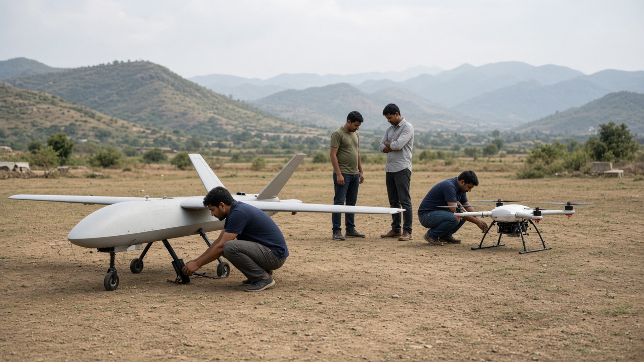
Early UAV era: research and hobby aircraft prove unmanned flight before mass delivery use.
Early 20th-century experiments invent remote-controlled flying machines.
Military UAVs mature for surveillance and training targets.
Radio-control hobby planes and helicopters grow among enthusiasts.
Sensors, GPS, and microcomputers get smaller and cheaper.
Technology Used
Radio control: Pilots fly from the ground.
Fixed-wing UAVs: Longer range for mapping and recon.
Early autopilots: Basic flight stabilization.
Features
No onboard pilot: Risk and cost differ from manned aircraft.
Specialist use: Mostly military, research, and hobby at first.
Foundation tech: GPS and sensors enable later delivery drones.
🌀 Hover & Shoot2010 – 2016
Multirotor Revolution
Quadcopters with cameras explode in popularity. Easy vertical take-off, hovering, and smartphone control make drones accessible for filming, inspection, and early logistics experiments.
Multirotor era: hovering drones make aerial photos, inspection, and mapping everyday tools.
Quadcopters become the common civilian drone shape.
HD cameras and gimbals enable cinema and real-estate shoots.
Inspection of towers, roofs, and pipelines becomes safer.
Brushless motors + LiPo batteries: High power-to-weight flight.
Flight controllers: Stabilize 4+ rotors automatically.
GPS return-to-home: Safer recovery if signal drops.
Features
VTOL convenience: Take off from rooftops and small clearings.
Hover precision: Ideal for photos and close inspection.
Mass adoption: Moves drones from niche to mainstream.
📦 Packages in the Sky2013 – 2020
Delivery Drones
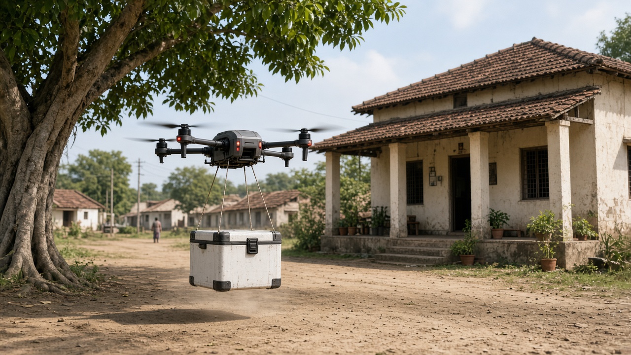
Companies and startups test aerial package delivery. Lightweight parcels fly from micro-hubs to homes, campuses, and pickup points — aiming to beat traffic on last-mile routes.
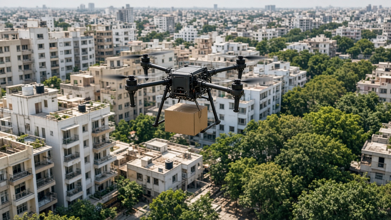
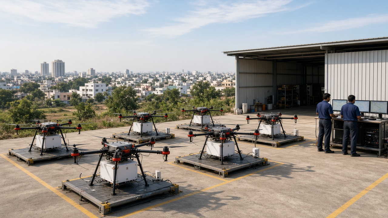
Delivery era: drones carry small e-commerce and food parcels above busy Indian streets.Hub model: drones charge, load packages, and fly short routes from neighborhood depots.
Pilot projects deliver food, retail packages, and documents.
Winch / drop systems lower parcels without full landing everywhere.
BVLOS trials explore longer routes beyond the pilot’s eyesight.
India tests drone corridors and approvals for commercial delivery.
Technology Used
Payload bays / hooks: Secure small boxes in flight.
Obstacle sensors: Avoid trees, wires, and buildings.
Light payloads: Best for small, urgent, or high-value items.
Rule-bound ops: Needs airspace permission and safe landing zones.
🌾 Fields & Maps2015 – Present
Agriculture and Survey
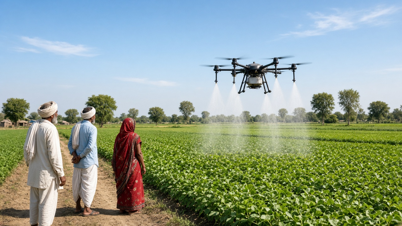
Farm drones spray nutrients and pesticides with precision. Survey drones map land, mines, highways, and construction sites — turning the sky into a measuring tool.
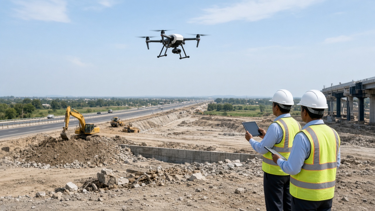
Farm era: spray and mapping drones support precision agriculture across Indian fields.
Agri-drones cover large fields faster than manual spraying.
Multispectral cameras spot crop stress early.
Survey drones create 3D maps for roads, mines, and real estate.
Indian startups and FPOs adopt drones for rural productivity.
Technology Used
Spray tanks & nozzles: Controlled chemical / nutrient release.
Photogrammetry: Overlapping photos become maps and models.
RTK GPS: High-accuracy positioning for survey work.
Features
Precision farming: Apply inputs only where needed.
Safer surveying: Inspect cliffs and tall structures remotely.
Data-rich decisions: Farmers and engineers act on aerial insights.
🩺 Life-Saving Flights2018 – Present
Medical and Disaster Uses
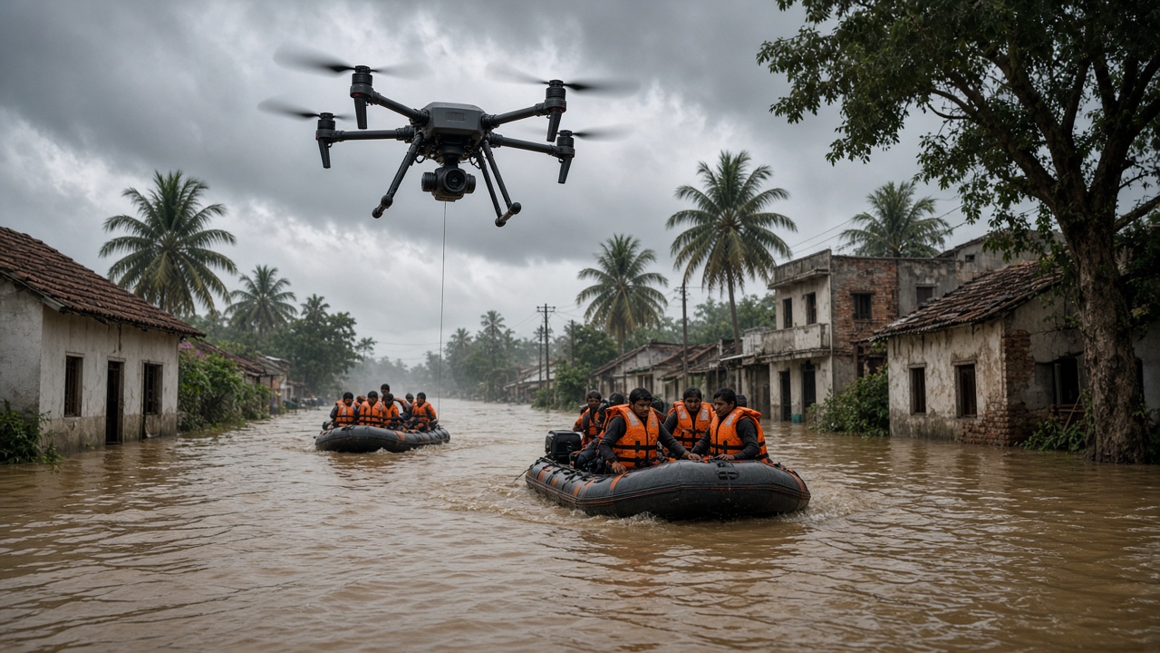
Drones rush blood, vaccines, and medicines to clinics. In floods and earthquakes they map damage, find people, and drop emergency supplies when roads fail.
Medical era: drones shorten the time to deliver critical supplies to rural clinics.Disaster era: aerial eyes and supply drops help rescue teams when floods block roads.
Cold-chain boxes move vaccines and blood samples quickly.
Thermal cameras help search-and-rescue at night.
NDRF and state teams use drones for flood and landslide views.
Public health pilots link district hubs to remote PHCs.
Thermal / zoom cameras: Locate people and assess damage.
Emergency corridors: Temporary flight paths during crises.
Features
Time savings: Minutes matter for blood and antidotes.
Access beyond roads: Reach cut-off villages and islands.
Situational awareness: Live aerial video for commanders.
🏙️ Sky Corridors2020 – Present
Urban Air Logistics
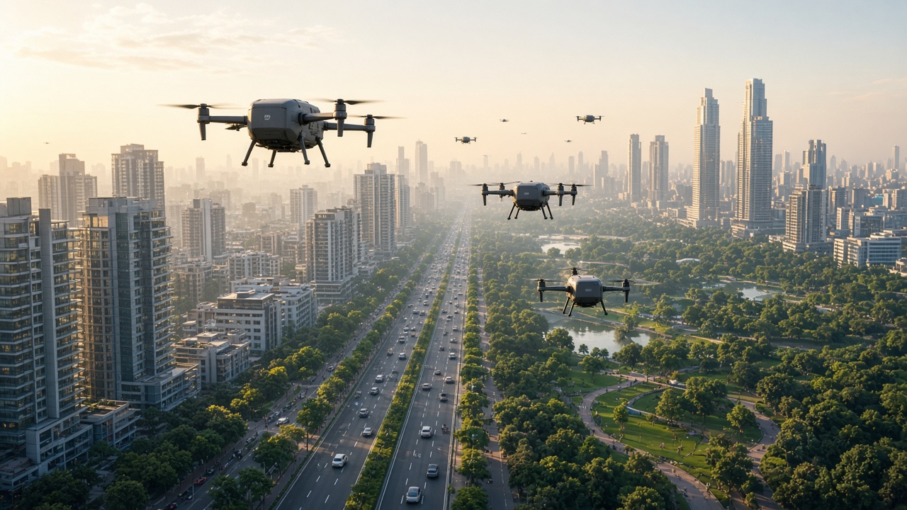
Cities plan drone corridors, Digital Sky-style permissions, and fleet hubs. The future points to denser delivery networks, safer automation, and integration with ground logistics.
Future era: designated urban air lanes and charging hubs scale drone logistics safely.
India expands civil drone policy, UAS traffic concepts, and pilot corridors.
E-commerce and pharmacy chains explore routine aerial last-mile.
Detect-and-avoid systems aim for safer BVLOS fleets.
Noise, privacy, and bird/airspace safety remain design challenges.
Technology Used
UTM / digital airspace tools: Track and authorize flights.
Swappable batteries: Faster turnaround at hubs.
AI route planning: Avoid weather, no-fly zones, and traffic.
Features
Scaled delivery: Many short hops from city micro-hubs.
Hybrid logistics: Drone + bike/van for doorstep completion.
Public trust: Needs clear safety and privacy rules.
Where Drones Are Used
Drones are a multi-role transport and sensing platform. Below are the main places and jobs where they fly today.
Use area
What drones do
India / everyday notes
Package delivery
Carry small e-commerce / food parcels
Last-mile trials from hubs to homes or pickup points
Medical logistics
Move medicines, vaccines, blood samples
Links district hubs to rural clinics faster
Agriculture
Spray crops, map fields, monitor health
Precision farming for Indian farms and FPOs
Survey & mapping
Create maps, 3D models, progress views
Roads, mines, real estate, construction sites
Disaster response
Search, assess floods, drop supplies
Used when roads are blocked by flood or landslide
Infrastructure inspection
Check towers, bridges, solar farms, pipelines
Safer than climbing or long shutdowns
Media & events
Aerial photography and live shots
Films, sports, weddings, tourism shoots
Security & policing
Crowd monitoring and perimeter watch
Events, borders, and critical facilities (regulated)
Drone Transport Systems in India
India’s drone ecosystem mixes aircraft types, ground hubs, Digital Sky-style approvals, pilots, and payload systems for delivery and public services.
System
Role
Example
Multirotor delivery drone
Short urban / peri-urban hops
Package or pharmacy drop from a micro-hub
Fixed-wing / hybrid VTOL
Longer range logistics
Medical or survey flights across districts
Agri spray drone
Field coverage
Nutrient / pesticide application
Drone hub / depot
Charge, load, dispatch
Warehouse rooftop or outskirts pad
Ground control & UTM
Permissions and tracking
Digital Sky-style flight authorizations
Payload kits
Specialized cargo
Cold boxes, spray tanks, cameras
India Spotlight: Drone Milestones
Year / Era
Milestone
Significance
Pre-2010
Military & research UAV use
Unmanned flight expertise grows in specialized domains.
2010s
Civilian multirotors spread
Filming, hobby, and inspection use expands.
2018–2021
Civil drone rules & Digital Sky push
Clearer pathway for registered commercial flying.
2020s
Delivery & medical pilots
Last-mile and health logistics experiments scale.
2020s
Agriculture drone adoption
Spray and mapping services reach more farms.
Now → future
Corridors & fleet hubs
Urban air logistics aims for routine safe operations.
Drones Timeline Summary
Year / Era
Milestone
1910s–2000s
Early unmanned aircraft and military UAVs
2010–2016
Multirotor consumer and pro camera drones
2013–2020
Package delivery experiments and hubs
2015–present
Agriculture spraying and aerial surveying
2018–present
Medical logistics and disaster response drones
2020s
Urban air corridors and scaled civil fleets
Test Your Knowledge
20 quick questions from the drones transport timeline. Click each question to reveal the answer.
Answer: Unmanned Aerial Vehicle.
Answer: An unmanned aircraft that carries small packages to customers or pickup points.
Answer: They can avoid road traffic and reach hard-to-access places for light packages.
Answer: Delivery, agriculture, medical, survey, disaster response, inspection, or media (any three).
Answer: They spray crops and map / monitor field health.
Answer: Medicines, vaccines, blood samples, or similar light medical supplies.
Answer: Beyond Visual Line of Sight.
Answer: They take off vertically, hover easily, and are simple for many civilian tasks.
Answer: They map damage, find people, and can drop emergency supplies.
Answer: A depot where drones charge, load packages, and get dispatched.
Click any panel to expand and explore the visual mood.
Drone eras in pictures — early UAVs, delivery, farming, medical, disaster response, and urban air futures.
Early UAVs
Research and first unmanned flights
Delivery
Packages above city streets
Agriculture
Spray and map Indian farms
Medical
Medicines to rural clinics
Disaster Response
Floods, search, supply drops
Urban Air Future
Corridors and city hubs
Explore all transport timelines
Jump to any other transport timeline on WorldTimelineHub.
Disclaimer: This content is AI-generated for educational purposes and may contain errors or outdated details. For correct and authoritative information, please refer to official and reliable sources such as government publications, manufacturers, museums, and academic references.