Maps and Navigation Timeline of India: Asking Locals → Paper Maps → GPS → Google Maps → AR Navigation
In the 1950s finding a new address in India meant asking the tea-stall owner, the paanwala, or a passing policeman — “go straight, turn left at the big banyan tree.” The 1980s brought fold-out road maps and
city map books, the 2000s dashboard GPS units, the 2010s free maps with voice directions on every smartphone, and in the 2020s augmented-reality arrows appear on the camera view itself.
This timeline covers star and landmark navigation, kos minars, the Survey of India and the Great Trigonometrical Survey, milestones and PIN codes, road atlases and city guides, Indian remote-sensing satellites,
GPS devices, Bhuvan, Google Maps, cab and delivery apps, NavIC, open geospatial rules, Street View, and AR Live View navigation.
1950s Asking → 1980s Paper Maps2000s GPS → 2010s Google Maps2020s AR Navigation
Why the Maps and Navigation Story Matters
How people find their way shapes how they travel, trade, deliver goods, and respond to emergencies. India’s journey from landmark directions and hand-drawn survey sheets to satellite navigation and AR arrows
explains how cab rides, food delivery, courier tracking, disaster response, and smart cities became possible — and why India built its own satellite navigation system.
Big picture
India’s navigation journey in one view
For centuries travellers followed stars, rivers, and milestones while surveyors mapped the land. After independence people relied on asking locals and on landmarks, the 1980s and 1990s brought printed road
maps and city guides, the 2000s GPS devices and online maps, the 2010s smartphone navigation and NavIC, and the 2020s AR directions and open map data. Related timelines:
roads and highways,
mobile phones,
postal services.
1767
Survey of India founded
1972
Six-digit PIN codes introduced
2016
India’s NavIC system named
2020s
AR walking directions
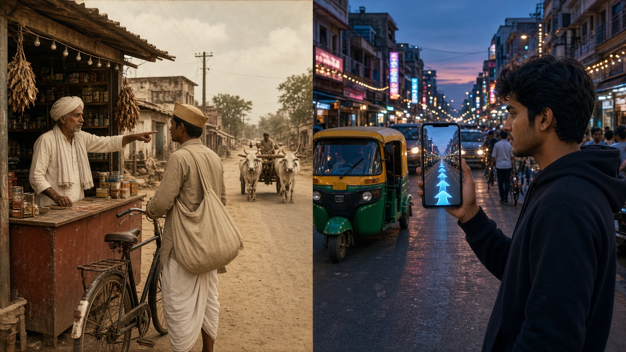
From asking the shopkeeper to following AR arrows on a phone (artistic illustration).
Finding the Way Then vs Now at a Glance
Feature
Then
Now
First step
Ask a local
Type the place in a map app
Address
“Behind the temple, near the well”
PIN code, pinned location, and digital address
Guide
Shopkeeper, rickshaw driver, or policeman
Voice directions and AR arrows
Map
Folded paper map or none
Live digital map on the phone
Position
Milestones and landmarks
GPS and NavIC satellites
Traffic
Found out on arrival
Live traffic colours and rerouting
Travel time
Rough guess
Accurate arrival time
Sharing
Explaining landmarks on the phone
Sharing live location
Getting lost
Common and expected
Rare, except without signal
Map makers
Government surveyors
Satellites, companies, and users
🧭 SurveysAncient – 1946
Stars, Kos Minars & the Survey of India
Ancient Indian travellers, traders, and sailors found their way by the sun, stars, rivers, hills, and temples. Rulers marked major roads with distance pillars, and from the 18th century surveyors measured the subcontinent with chains and theodolites, producing some of the most accurate maps of their time.
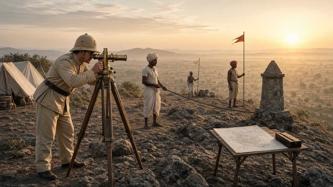
Surveyors measure angles with a brass theodolite on a hilltop station (artistic illustration).
Ancient times: Travellers and sailors navigate by the sun, the stars, rivers, and landmarks, and traders follow well-known routes between cities and ports.
16th–17th century: The Grand Trunk Road is improved, and Mughal-era kos minars, tall brick pillars placed about one kos (roughly 3 km) apart, mark distances for travellers.
1767: The Survey of India is founded, one of the oldest scientific departments in the country.
1802–1856: The Great Trigonometrical Survey begins in Madras (1802), and calculations led by Radhanath Sikdar (1852) show that Peak XV, later named Everest, is the world’s highest mountain.
Technology
Stars and sun: Natural compass.
Theodolite: Precise angles.
Measuring chain: Exact distances.
Features
Kos minars: Distance pillars.
Survey sheets: Hand-drawn maps.
Local guides: Knew every path.
🗣️ Asking1947 – 1979
Asking Locals, Landmarks & Milestones
After independence few families owned a map, and many streets had no name boards. People found new places by asking tea-stall owners, paanwalas, rickshaw drivers, and policemen, and addresses were described by landmarks. Roadside milestones counted the kilometres, and PIN codes brought order to postal addresses.
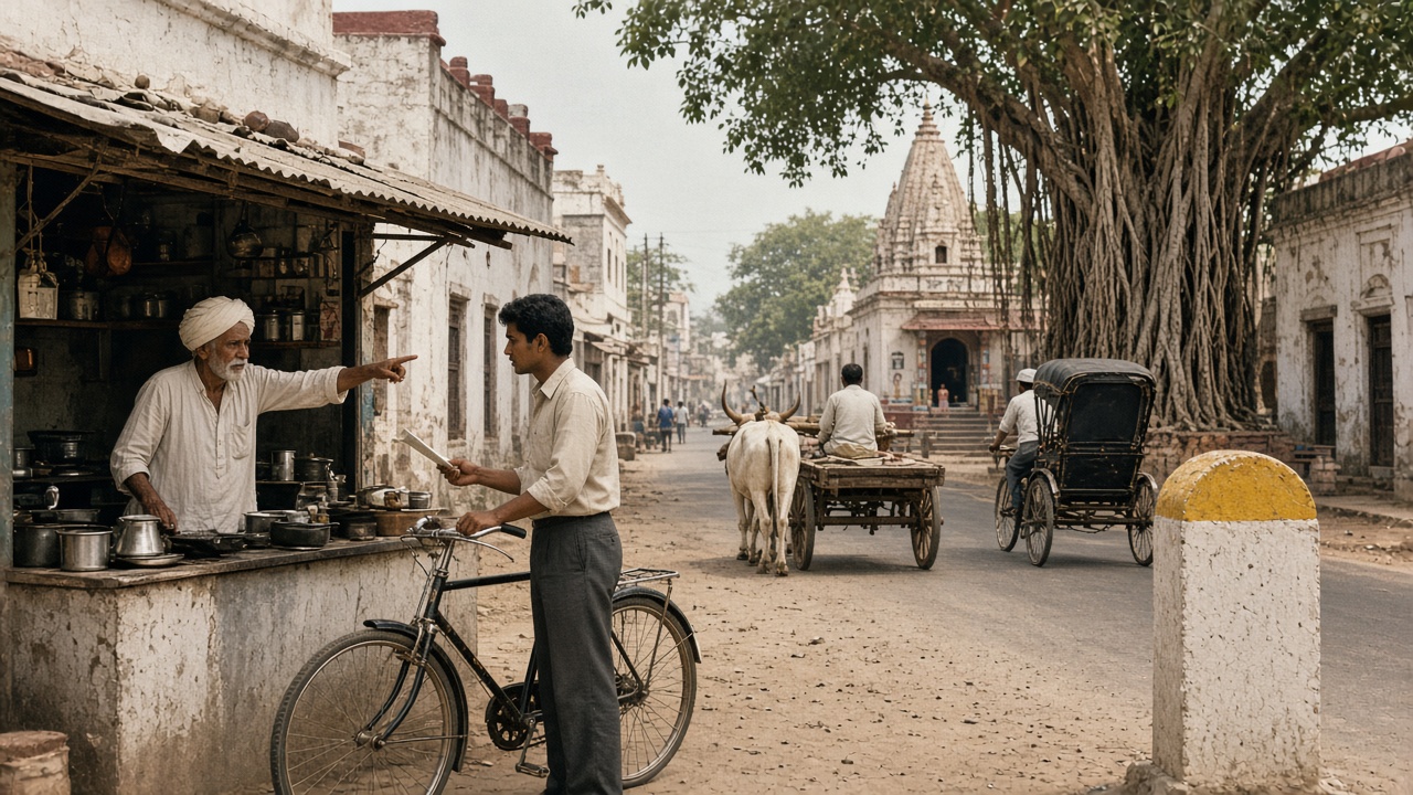
“Go straight, turn left at the banyan tree” — asking the tea-stall owner (artistic illustration).
1950s: Directions come from locals — “straight, then left at the temple, ask again near the well” — and letters are addressed by landmarks as well as street names.
1950s–1970s: Stone milestones with coloured tops show the distance to the next town, and railway timetables and bus-stand enquiry counters help travellers plan journeys.
1960s–1970s: Survey of India topographic sheets exist, but many are restricted, so ordinary people rarely use detailed maps.
1972: The six-digit Postal Index Number (PIN) code is introduced on 15 August, helping postmen and later couriers locate addresses.
Technology
Milestones: Kilometres to the next town.
Timetables: Rail and bus journeys.
PIN codes: Six digits for every area.
Features
Landmark addresses: Temple, well, tree.
Helpful strangers: Ask again and again.
Local knowledge: Rickshaw drivers knew all.
🗺️ Paper1980 – 1999
Paper Maps, Road Atlases & City Guides
As more families bought cars and took road trips, fold-out state maps, road atlases, and spiral-bound city map books sold at bookstalls and petrol pumps became travel essentials. Tourist offices handed out city maps, and India launched its own remote-sensing satellites to map the country from space.
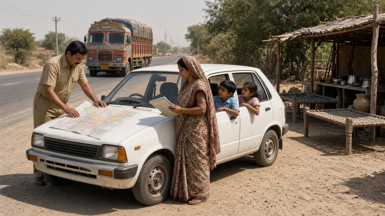
A road map spread on the bonnet and a city map book on a family road trip (artistic illustration).
1980s: Small cars bring family road trips, and fold-out state maps and road atlases showing highways, distances, and petrol pumps become common in glove boxes.
1988: India launches IRS-1A (17 March), its first operational remote-sensing satellite, used to map land, forests, water, and crops.
1990s: Spiral-bound city map books with street indexes help people find colonies and sectors in fast-growing cities, and tourist maps are sold at bookstalls.
1995: Indian digital mapping companies are founded, beginning to convert paper maps into computer maps for businesses.
Technology
Printed atlases: Highways and distances.
City map books: Street indexes.
IRS satellites: Mapping from space.
Features
Map on the bonnet: Road trip ritual.
Navigator seat: Someone reads the map.
Still asking: For the last few turns.
📡 GPS2000 – 2009
GPS Devices & Digital Maps
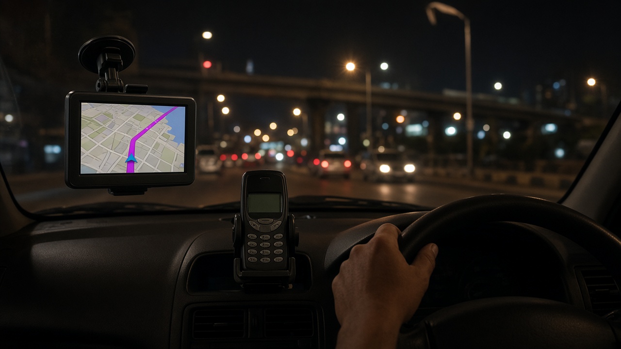
Once civilian GPS became accurate, portable navigation units stuck on windscreens began guiding taxis, delivery vans, and a few private cars. Online maps appeared on computers, early phones gained map apps, and ISRO opened its satellite imagery to the public.
A windscreen GPS unit and a keypad phone guide a night drive (artistic illustration).
2000: The United States switches off Selective Availability (1 May), making civilian GPS accurate to within about 10 metres worldwide.
2005: India’s National Map Policy introduces Open Series Maps for public use, and online map websites start to show Indian cities.
2000s: Portable GPS navigators with Indian maps appear in radio taxis, logistics fleets, and some cars, and GPS tracking spreads in trucks and ambulances.
2008–2009: Online maps with driving directions launch for India (2008), phones gain map apps, and ISRO launches the Bhuvan geoportal (2009).
Technology
GPS receivers: Satellite positioning.
Digital maps: Roads on a screen.
Bhuvan: Indian satellite imagery.
Features
Voice prompts: “Turn right in 200 metres.”
Fleet tracking: Taxis and trucks.
Printed directions: From websites.
📱 Maps App2010 – 2019
Google Maps on Smartphones & NavIC
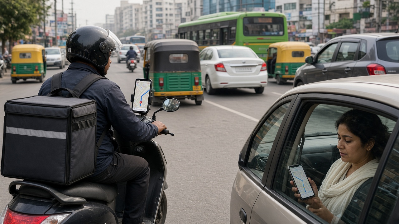
Cheap smartphones and mobile data put free maps with voice directions and live traffic in millions of pockets. Cab, food delivery, and courier apps were built on these maps, people began sharing live locations instead of landmarks, and India launched its own navigation satellites.
A delivery rider and a cab passenger both follow maps on their phones (artistic illustration).
Early 2010s: Google Maps and other map apps offer free turn-by-turn voice navigation and live traffic in Indian cities on affordable Android phones.
2010–2014: Cab-hailing apps launch in India and rely on GPS to match riders and drivers, and food delivery and e-commerce apps show live order tracking.
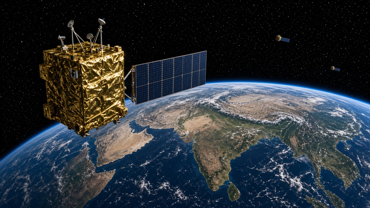
2013–2016: ISRO launches the first IRNSS navigation satellite (July 2013), completes the seven-satellite constellation in 2016, and the system is named NavIC.
Late 2010s: Maps add Hindi and other Indian-language voices, two-wheeler routes, offline maps, and public transport directions, and live location sharing becomes common.
Technology
Smartphone GPS: In every pocket.
Live traffic: Crowd-sourced speeds.
NavIC: India’s own satellites.
Features
Voice directions: In Indian languages.
Live location: Shared on chat.
Ride tracking: Cabs and deliveries.
🥽 AR2020s – Future
AR Navigation, Street View & Smart Mobility
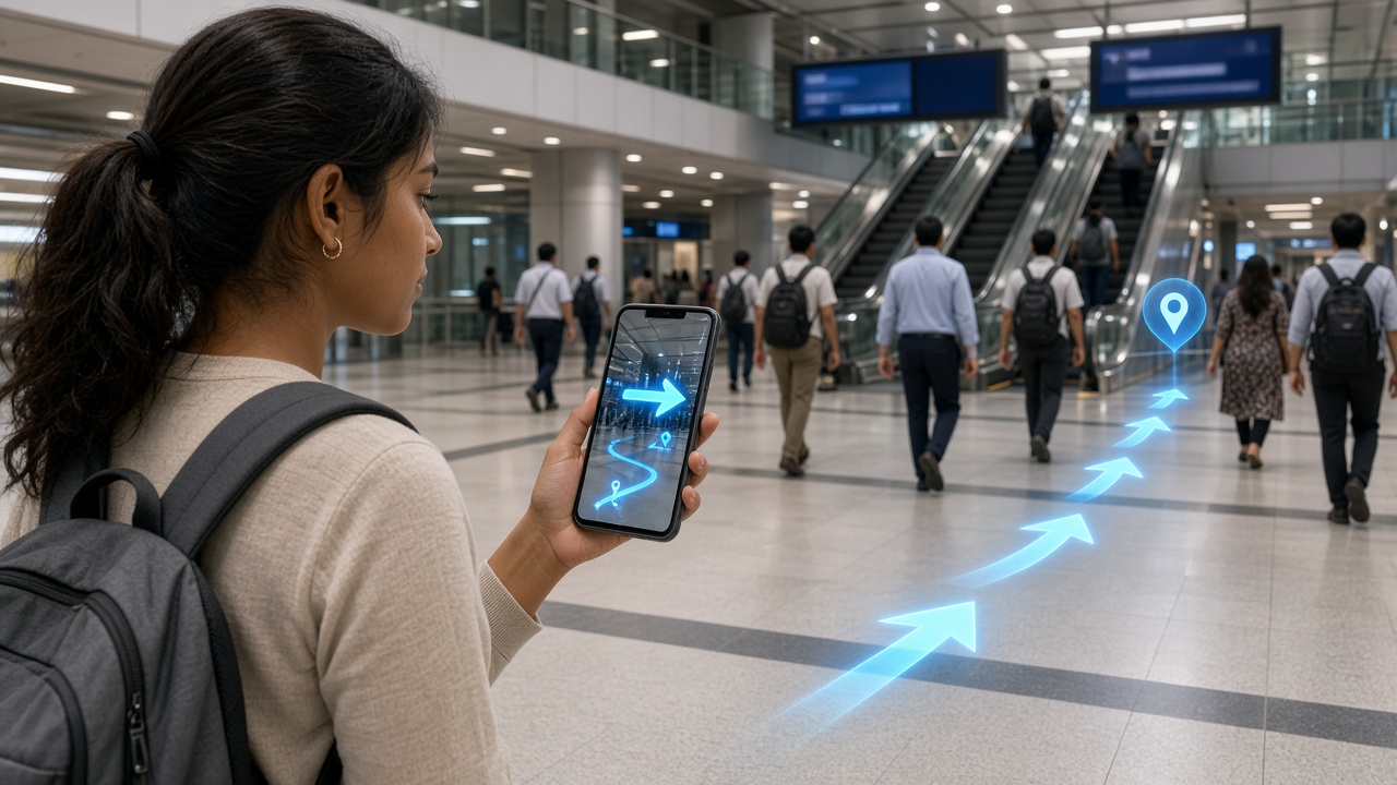
In the 2020s navigation moved onto the camera view, with augmented-reality arrows guiding walkers through streets, malls, and stations. India opened up map-making to Indian companies, Street View returned to Indian cities, NavIC reached smartphones, and cars began showing directions on head-up displays.
AR arrows on the phone guide a commuter to the right exit (artistic illustration).
2020s: AR Live View walking directions overlay arrows on the camera view, and indoor maps help people navigate airports, malls, and metro stations.
2021–2022: India liberalises its geospatial guidelines (February 2021), adopts a National Geospatial Policy (2022), and Street View returns to Indian cities through Indian partners (July 2022).
2023: ISRO launches NVS-01 (May), a second-generation NavIC satellite, and more smartphones support NavIC positioning.
Future: AR head-up displays in cars, lane-level directions, high-definition maps for self-driving vehicles, and drone and indoor navigation.
Technology
AR overlays: Arrows on camera view.
Head-up displays: Directions on windscreens.
HD maps: For self-driving cars.
Features
Street View: See before you go.
Indoor maps: Stations and malls.
Open map data: Indian map makers.
How Indians Found the Way: Tools Compared
Method
Main era
Strength
Weakness
Stars and landmarks
Ancient times
Always available
Needs experience
Kos minars and milestones
Mughal era–now
Shows distance
Only on main roads
Asking locals
Always, peak 1950s–1990s
Friendly and free
Directions can be wrong
PIN code and landmarks
1972–now
Narrows down the area
Not a precise spot
Paper road map
1980s–2000s
Big picture of the route
Goes out of date
City map book
1990s–2000s
Street indexes
Hard to read while moving
GPS navigator
2000s
Voice directions
Costly, maps needed updates
Smartphone map app
2010s–now
Free, live traffic
Needs data and battery
AR navigation
2020s
Shows the exact turn
Walking and newer devices only
India’s Own Mapping and Navigation Milestones
A navigation satellite orbiting above the Indian subcontinent (artistic illustration).
Milestone
Year
What it did
Survey of India founded
1767
National mapping agency
Great Trigonometrical Survey
1802
Precise measurement of India
Everest found highest
1852
Calculated from survey data
PIN codes
1972
Six-digit postal areas
IRS-1A satellite
1988
Mapping India from space
National Map Policy
2005
Open Series Maps for the public
Bhuvan geoportal
2009
Satellite maps online
First IRNSS satellite
2013
Start of India’s navigation system
NavIC named
2016
Regional navigation for India
Geospatial guidelines liberalised
2021
Free mapping by Indian companies
NVS-01 satellite
2023
Second-generation NavIC
Maps and Navigation Timeline Summary
Year / Era
Milestone
Ancient times
Stars, rivers, and landmarks
16th–17th century
Kos minars on the Grand Trunk Road
1767
Survey of India founded
1802
Great Trigonometrical Survey begins
1852
Peak XV (Everest) calculated as highest
1950s
Asking locals and landmark addresses
1972
Six-digit PIN codes
1980s
Road atlases and fold-out maps
1988
IRS-1A remote-sensing satellite
1990s
City map books
2000
Accurate civilian GPS
2005
National Map Policy
2008
Online driving directions for India
2009
ISRO Bhuvan
Early 2010s
Smartphone voice navigation
2013
First IRNSS satellite
2016
NavIC constellation named
2021
Geospatial guidelines liberalised
2022
National Geospatial Policy; Street View returns
2023
NVS-01 satellite
2020s
AR walking directions
Future
AR head-up displays and HD maps
Test Your Knowledge
20 quick questions from the maps and navigation timeline. Click each question to reveal the answer.
Answer: Mughal-era distance pillars placed about one kos apart along major roads.
Answer: 1767.
Answer: The theodolite.
Answer: Madras (Chennai).
Answer: Radhanath Sikdar.
Answer: By asking locals and following landmarks.
Answer: The distance to the next town or city.
Answer: Postal Index Number.
Answer: 15 August 1972.
Answer: IRS-1A, launched in 1988.
Answer: Spiral-bound city map books with street indexes.
Answer: Global Positioning System.
Answer: Selective Availability was switched off, making it much more accurate.
Answer: Bhuvan.
Answer: Navigation with Indian Constellation.
Answer: Seven.
Answer: Cab-hailing apps.
Answer: 2021.
Answer: Augmented reality.
Answer: A second-generation NavIC navigation satellite launched in 2023.
Classroom activity
Students Tasks
Use these prompts for discussion or projects on how people in India have found their way over time.
Click any panel to expand and explore the visual mood.
India’s navigation journey in pictures — the hilltop survey, asking the tea-stall owner, the road map on the bonnet, the windscreen GPS, the map app on the scooter, AR arrows, NavIC in orbit, and then versus now.
The Great Survey
Theodolites on hilltops
Asking Locals
Left at the banyan tree
Paper Maps
Road trip ritual
GPS Navigator
On the windscreen
Map App
Rides and deliveries
AR Navigation
Arrows on the camera
NavIC
India’s own satellites
Then vs Now
Asking to AR arrows
Explore all transport timelines
Jump to any other transport timeline on WorldTimelineHub.
Disclaimer: This content is AI-generated for educational purposes and may contain errors or outdated details. For correct and authoritative information, please refer to official and reliable sources such as government publications, manufacturers, museums, and academic references.