At independence, only about 21 million hectares of India’s farmland was irrigated. Today the figure is more than three times higher. This growth came from
commissions and plans, giant dams and canals, millions of tube wells, new institutions and laws, and national programmes that are now shifting the focus from
building more to using every drop better.
This timeline covers colonial public works and famine protection, the Irrigation Commissions, Partition and the Indus Waters Treaty, Five-Year Plan projects, water
tribunals and institutions, the groundwater revolution, command area development, national water policies, farmer participation, AIBP, PMKSY, and the Jal Shakti era.
India feeds more than 1.4 billion people, and irrigated land produces most of its food grain. Developing irrigation is not just about building dams — it needs
planning, money, laws to share rivers between states, institutions to study groundwater, and farmers who take part in managing water. The story of irrigation
development is also the story of how India overcame famine and became self-sufficient in food.
Big picture
Irrigation development in one view
Colonial irrigation aimed at revenue and famine protection. After 1947, Five-Year Plans built large multipurpose dams, then the Green Revolution unleashed
groundwater. Later decades focused on finishing unfinished projects, involving farmers, and saving water, and today one ministry handles rivers, groundwater,
and drinking water together. Related timelines:
irrigation methods,
tractors in irrigation,
power grid and hydro dams.
~21 Mha
Net irrigated area in 1950–51
70+ Mha
Net irrigated area today
~140 Mha
Ultimate irrigation potential
~80%
Of India’s fresh water used by farming
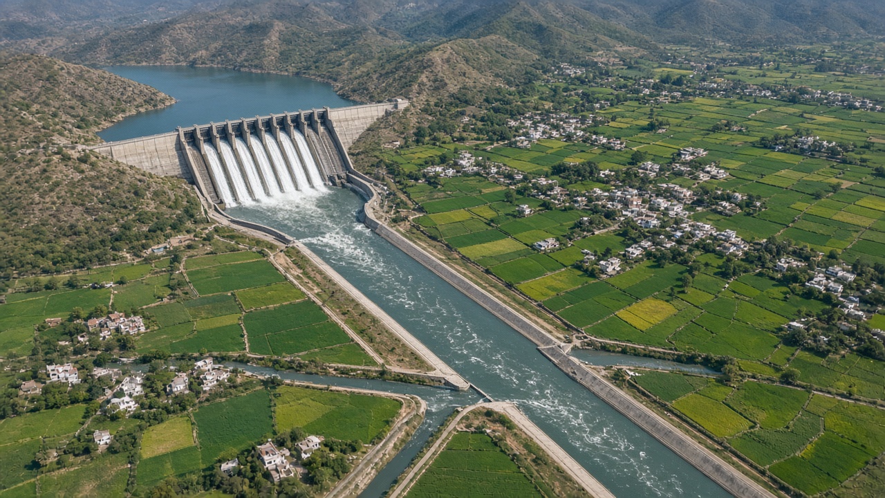
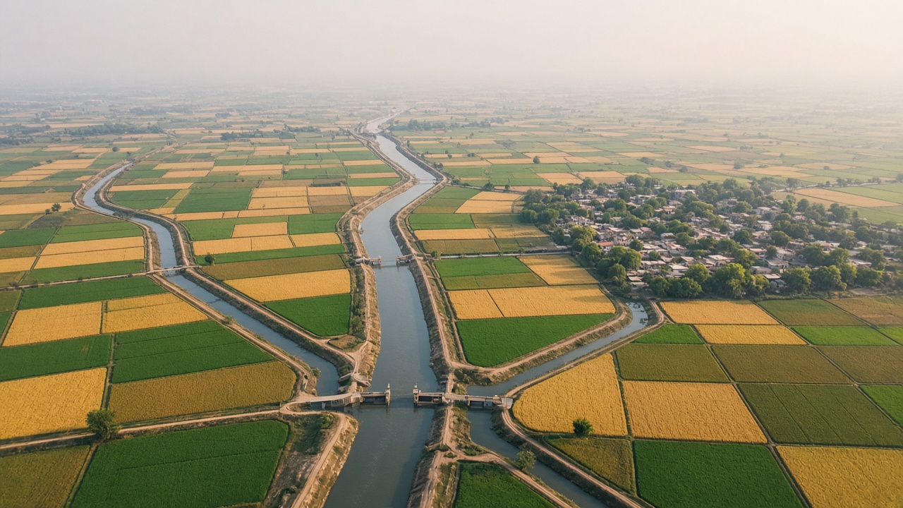
Large dams and canal networks were at the heart of India’s irrigation plans (artistic illustration).
📜 Public Works1854 – 1946
Colonial Public Works & Irrigation Commissions
A Public Works Department took charge of canals, and irrigation was judged by the revenue it earned. Terrible famines changed thinking — commissions recommended “protective” irrigation to guard against drought, and canal colonies turned western Punjab into a granary.
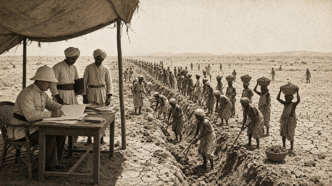
Famine relief works often put hungry villagers to work digging canals and tanks (artistic illustration).
1854: A Public Works Department is organised to handle roads, buildings, and canals; the Upper Ganga Canal opens the same year.
1880: After the famines of the 1870s, the Famine Commission recommends irrigation works to protect against crop failure.
1901–1903: The first Irrigation Commission under Sir Colin Scott-Moncrieff surveys India and recommends a big expansion of canals, tanks, and wells.
1919–1945: Irrigation becomes a provincial subject (1919); the Central Waterways, Irrigation and Navigation Commission is formed (1945).
Approach
Productive works: Canals expected to earn a profit.
Protective works: Built to prevent famine.
Canal colonies: New settlements on canal land.
Features
Top-down control: Engineers ran the canals.
Water rates: Farmers paid for canal water.
Uneven spread: Punjab and deltas gained most.
🏗️ Planning Era1947 – 1965
Partition, Planning & Temples of Modern India
Partition left much of Punjab’s canal land in Pakistan, and India faced food shortages. The Five-Year Plans made irrigation a top priority, building multipurpose dams that Jawaharlal Nehru called the “temples of modern India”.
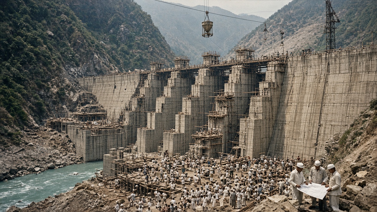
Thousands of workers built the great dams of the early Five-Year Plans (artistic illustration).
1947–1948: Partition divides the Punjab canal system; an inter-dominion agreement (1948) keeps water flowing while longer talks begin.
1950–1951: The Constitution makes water mainly a state subject; the First Five-Year Plan funds Bhakra Nangal, Hirakud, and Damodar Valley projects.
1956: Parliament passes the Inter-State River Water Disputes Act and the River Boards Act.
1960: India and Pakistan sign the Indus Waters Treaty; Bhakra Nangal is dedicated in 1963.
Approach
Multipurpose projects: Irrigation, power, and flood control.
Plan funding: Irrigation in every Five-Year Plan.
Project classes: Major, medium, and minor.
Features
Nation building: Dams as symbols of progress.
River sharing: Laws and treaties for rivers.
Food shortage: Imports still needed.
⛏️ Groundwater1966 – 1985
Groundwater, Commissions & Command Areas
The Green Revolution needed assured water, and farmers sank tube wells at great speed. New commissions and institutions studied groundwater and river sharing, and the government noticed that canal water often failed to reach the fields it was meant for.
1969: Tribunals are set up for the Krishna, Godavari, and Narmada river disputes; a second Irrigation Commission is appointed.
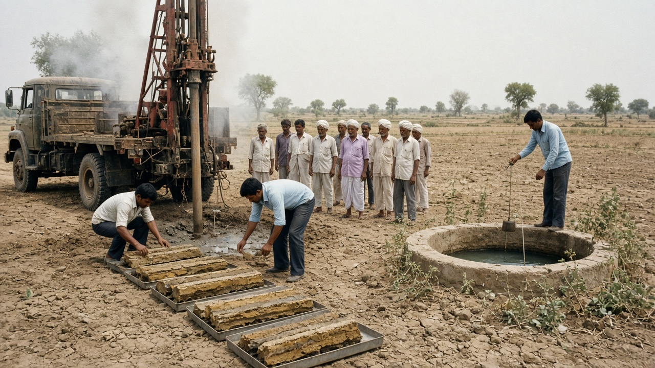
1972: The Irrigation Commission reports; the Central Ground Water Board is formed from the earlier Exploratory Tubewells Organisation.
1974–1976: The Command Area Development Programme begins (1974); the Central Water Commission gets its present name (1974); the National Commission on Agriculture reports (1976).
1980–1985: A National Perspective Plan for linking rivers is prepared (1980); the National Water Development Agency is set up (1982); the Ministry of Water Resources is formed (1985).
Approach
Groundwater surveys: Mapping aquifers.
Command area development: Field channels and levelling.
River tribunals: Sharing water between states.
Features
Food self-sufficiency: Irrigated wheat and rice.
Private tube wells: Farmers invest themselves.
Potential gap: Water created but not used.
📘 Water Policy1986 – 2004
Water Policies, AIBP & Farmer Participation
India adopted its first National Water Policy and began counting minor irrigation works carefully. Many big projects were stuck for lack of money, so the Centre stepped in to help finish them, and farmers were given a role in running canals through water user associations.
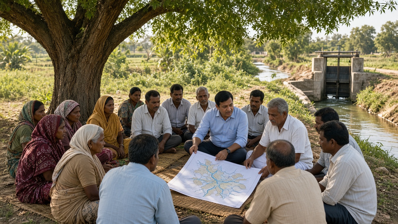
Water user associations let farmers share in running their canal systems (artistic illustration).
1986–1987: The first Minor Irrigation Census is carried out (1986–87); the first National Water Policy is adopted (1987).
1996–1997: The Accelerated Irrigation Benefits Programme starts funding nearly finished projects; Andhra Pradesh passes the Farmers’ Management of Irrigation Systems Act (1997).
1999: The National Commission for Integrated Water Resources Development Plan reports on water needs up to 2050.
2002–2004: A revised National Water Policy is adopted (2002); the command area programme is renamed Command Area Development and Water Management (2004).
Approach
Finish what’s started: Central help for stalled projects.
Participatory management: Water user associations.
Data and census: Counting wells and tanks.
Features
Policy priority: Drinking water first, then irrigation.
Farmer voice: Elected canal committees.
Falling water tables: Groundwater concern grows.
🎯 Missions2005 – 2018
Bharat Nirman, Water Mission & PMKSY
Irrigation became part of big national missions with clear targets. The focus shifted to water-use efficiency, micro-irrigation, and closing the gap between irrigation potential created and actually used, backed by new long-term funds.
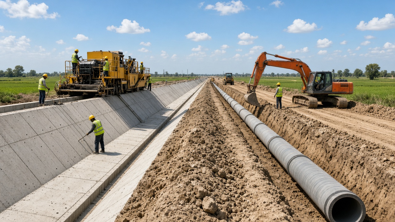
Lined canals and underground pipe networks reduce water lost on the way to fields (artistic illustration).
2005–2006: Bharat Nirman sets a target of 10 million hectares of new irrigation; a national micro-irrigation scheme begins (2006).
2008–2012: The National Water Mission is launched under the climate action plan; National Water Policy 2012 stresses efficiency and water as an economic good.
2015–2016: PM Krishi Sinchayee Yojana begins (2015); 99 priority projects and a Long Term Irrigation Fund with NABARD are announced (2016).
2018: A Micro Irrigation Fund with NABARD helps states expand drip and sprinkler irrigation.
Approach
Har Khet Ko Pani: Water to every field.
Per Drop More Crop: Drip and sprinklers.
Pipes and lining: Less loss in conveyance.
Features
Mission mode: Targets and monitoring.
Dedicated funds: Long-term loans for projects.
Efficiency focus: More crop per drop.
💧 Jal Shakti2019 – Present
Jal Shakti Era: Groundwater, Dam Safety & River Links
A single Ministry of Jal Shakti now oversees rivers, irrigation, groundwater, and drinking water. New programmes target groundwater recovery, dam safety, water-use efficiency, river linking, and modern pipe-based water delivery in canal commands.
Satellite data and dashboards now help plan and monitor water use (artistic illustration).
2019: The Ministry of Jal Shakti is formed; Atal Bhujal Yojana for community groundwater management is launched.
2021: The Dam Safety Act is passed; the Union Cabinet approves the Ken–Betwa river link project.
2022: Mission Amrit Sarovar begins; a Bureau of Water Use Efficiency is set up under the National Water Mission.
2024–present: The Ken–Betwa foundation stone is laid (2024); modernising command areas with piped delivery and farmer management becomes a focus.
Approach
Integrated ministry: Surface and groundwater together.
Dam safety law: Regular inspection of large dams.
River linking: Moving surplus water to dry basins.
Features
Community action: Village water budgets.
Digital monitoring: Satellites and sensors.
Debates continue: Environment and displacement.
Growth of Irrigated Area
A command area is the farmland a canal system is designed to water (artistic illustration).
Year
Net irrigated area (approx.)
What drove growth
1950–51
~21 million ha
Colonial canals, tanks, and wells
1960–61
~25 million ha
First Five-Year Plan projects
1970–71
~31 million ha
Green Revolution tube wells
1980–81
~39 million ha
Groundwater boom and new canals
1990–91
~48 million ha
Rural electrification of pumps
2000–01
~55 million ha
AIBP and minor irrigation
2010–11
~64 million ha
Bharat Nirman and tube wells
Late 2010s
70+ million ha
PMKSY and micro-irrigation
Sources of Irrigation: Then and Now
Source
Share around 1950–51 (approx.)
Share today (approx.)
Canals
~40%
~24%
Tanks
~17%
~3%
Wells and tube wells
~29%
~62%
Other sources
~14%
~11%
Types of Irrigation Projects
Type
Culturable command area
Examples
Major
More than 10,000 ha
Bhakra Nangal, Hirakud, Sardar Sarovar
Medium
2,000 – 10,000 ha
Smaller dams and river diversions
Minor (surface)
Up to 2,000 ha
Tanks, check dams, small lift schemes
Minor (groundwater)
Up to 2,000 ha
Dug wells, tube wells, bore wells
Key Institutions & Laws
Institution / law
Year
Role
Central Waterways, Irrigation and Navigation Commission (now CWC)
1945
National technical body for surface water
Inter-State River Water Disputes Act
1956
Tribunals to settle river disputes between states
Indus Waters Treaty
1960
Shares Indus basin rivers with Pakistan
Central Ground Water Board
1972
Surveys and monitors groundwater
National Water Development Agency
1982
Studies river-linking projects
Ministry of Water Resources
1985
Union ministry for water
National Water Policy
1987, 2002, 2012
National framework for water use
Ministry of Jal Shakti
2019
Irrigation, rivers, groundwater, and drinking water
Click any panel to expand and explore the visual mood.
Irrigation development in pictures — famine works, dam building, groundwater surveys, water user associations, canal lining, command areas, and modern monitoring.
Famine Works
1870s–1900s
Building Dams
Five-Year Plans
Groundwater Survey
CGWB 1972
Command Area
CADP 1974
Water Users
Farmer participation
Canal Lining
PMKSY era
Water Monitoring
Jal Shakti era
Dam to Field
Canal networks
Explore all agriculture timelines
Jump to any other agriculture timeline on WorldTimelineHub.
Disclaimer: This content is AI-generated for educational purposes and may contain errors or outdated details. For correct and authoritative information, please refer to official and reliable sources such as government publications, manufacturers, museums, and academic references.